Geolocate

Elmville topographic map

Click on the map to display elevation.

About this map

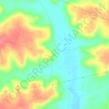
Name: Elmville topographic map, elevation, terrain.

Location: Elmville, Highland County, Ohio, United States (39.05507 -83.46186 39.07507 -83.44186)

Average elevation: 255 m

Minimum elevation: 222 m

Maximum elevation: 297 m

Other topographic maps

Click on a map to view its topography, its elevation and its terrain.

Rocky Fork Lake

United States > Ohio > Highland County

Average elevation: 291 m

Lynchburg

United States > Ohio > Highland County

Average elevation: 310 m

Hillsboro

United States > Ohio > Highland County

Average elevation: 313 m

Highland

United States > Ohio > Highland County

Average elevation: 326 m

Paint Creek Lake

United States > Ohio > Highland County

Average elevation: 277 m

Mowrystown

United States > Ohio > Highland County

Average elevation: 299 m

Gear up for your next adventure:

🧦Merino Wool Socks - Moisture-wicking comfort for long-distance hiking
🛰️Satellite Messenger - Emergency communication for areas with no cell service
🥾Waterproof Hiking Boots - Boots keeping your feet dry in wet conditions
🧰Survival Kit - Essential gear for emergencies in the wilderness
🧢Hiking Sun Hat - Wide-brimmed protection for exposed mountain ridges

As an Amazon Associate, this site earns from qualifying purchases at no extra cost to you.