
Thorncliff Park topographic map
Interactive map
Click on the map to display elevation.
About this map
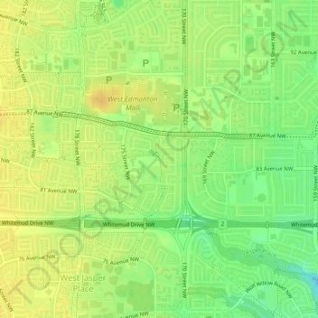
Name: Thorncliff Park topographic map, elevation, terrain.
Average elevation: 677 m
Minimum elevation: 661 m
Maximum elevation: 687 m
Other topographic maps
Click on a map to view its topography, its elevation and its terrain.
Louise McKinney Riverfront Park
Canada > Alberta > Division No. 11 > Edmonton
Average elevation: 647 m