Geolocate

Wanatah topographic map

Click on the map to display elevation.

About this map

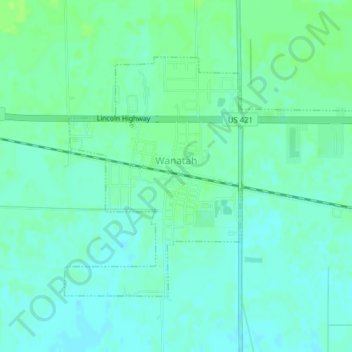
Name: Wanatah topographic map, elevation, terrain.

Location: Wanatah, LaPorte County, Indiana, 46390, United States (41.41927 -86.91083 41.43926 -86.87163)

Average elevation: 223 m

Minimum elevation: 218 m

Maximum elevation: 229 m

Other topographic maps

Click on a map to view its topography, its elevation and its terrain.

Fish Lake

United States > Indiana > LaPorte County

Average elevation: 215 m

Holmesville

United States > Indiana > LaPorte County

Average elevation: 240 m

Springville

United States > Indiana > LaPorte County

Average elevation: 229 m

Otis

United States > Indiana > LaPorte County

Average elevation: 228 m

Gear up for your next adventure:

🔋Emergency Crank Radio - Weather alerts and power without needing batteries
🥾Mountaineering Boots - Supportive boots for climbing and high-altitude hiking
💧Collapsible Water Bottle - Space-saving water bottle for outdoor activities
🧭GPS Outdoor Watch - Smart watch for navigation and fitness tracking in nature
🧥Waterproof Pants - Keep dry during rainy hiking conditions

As an Amazon Associate, this site earns from qualifying purchases at no extra cost to you.