
Nistowiak Lake topographic map
Click on the map to display elevation.
About this map
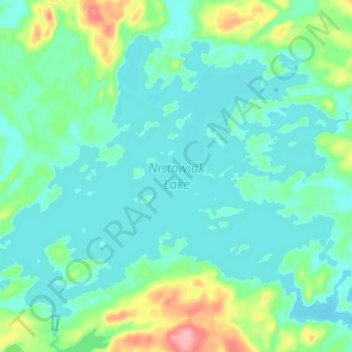
Name: Nistowiak Lake topographic map, elevation, terrain.
Location: Nistowiak Lake, Division No. 18, Saskatchewan, Canada (55.40032 -104.39020 55.46329 -104.25194)
Average elevation: 353 m
Minimum elevation: 333 m
Maximum elevation: 435 m
Division No. 18 trails, hiking, mountain biking, running and outdoor activities
Other topographic maps
Click on a map to view its topography, its elevation and its terrain.
Clearwater River
Canada > Saskatchewan > Division No. 18 > Unorganized Division No. 18
From Broach Lake at an elevation of 460 metres (1,510 ft) above sea level, the Clearwater drops about 150 metres (490 ft) to the confluence at Fort McMurray. Its waters eventually reach the Arctic Ocean via the Athabasca and Mackenzie Rivers. Tributaries of the Clearwater River include Descharme River and…
Average elevation: 450 m
McClean Lake
Canada > Saskatchewan > Division No. 18 > Unorganized Division No. 18
Average elevation: 440 m
Sipanok Channel
Canada > Saskatchewan > Division No. 18 > Unorganized Division No. 18
Average elevation: 277 m