
Raley topographic map
Interactive map
Click on the map to display elevation.
About this map
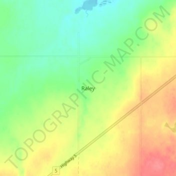
Name: Raley topographic map, elevation, terrain.
Location: Raley, Cardston County, Alberta, Canada (49.26333 -113.20333 49.30333 -113.16333)
Average elevation: 1,129 m
Minimum elevation: 1,100 m
Maximum elevation: 1,165 m
Alberta trails, hiking, mountain biking, running and outdoor activities