
Landimore topographic map
Interactive map
Click on the map to display elevation.
About this map
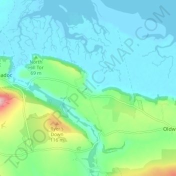
Name: Landimore topographic map, elevation, terrain.
Location: Landimore, Swansea, Wales, SA3 1HE, United Kingdom (51.59487 -4.23752 51.63487 -4.19752)
Average elevation: 34 m
Minimum elevation: -1 m
Maximum elevation: 166 m