Geolocate

Davenport topographic map

Click on the map to display elevation.

About this map
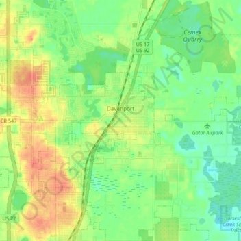
Name: Davenport topographic map, elevation, terrain.

Location: Davenport, Polk County, Florida, 33836, United States (28.14310 -81.63944 28.17220 -81.55761)

Average elevation: 40 m

Minimum elevation: 19 m

Maximum elevation: 65 m

Gear up for your next adventure:

🧢Hiking Sun Hat - Wide-brimmed protection for exposed mountain ridges
🥾Light Hiking Boots - Lightweight and comfortable boots for day hikes
🔋Lithium AA Batteries - Long-lasting power that performs in extreme cold
🗺️Topographic Maps - Detailed maps to explore trails, mountains, and wilderness areas
🧊Insulated Water Bottle - Keeps drinks cold in summer and prevents freezing in winter

As an Amazon Associate, this site earns from qualifying purchases at no extra cost to you.