Geolocate

Elmstone topographic map

Click on the map to display elevation.

About this map
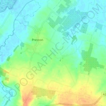
Name: Elmstone topographic map, elevation, terrain.

Location: Elmstone, Preston, Dover, Kent, England, CT3 1HE, United Kingdom (51.27850 1.21675 51.31850 1.25675)

Average elevation: 13 m

Minimum elevation: -2 m

Maximum elevation: 37 m

Gear up for your next adventure:

🧊Insulated Water Bottle - Keeps drinks cold in summer and prevents freezing in winter
🥾Hiking Leggings - Comfortable leggings for outdoor activities
🧴Bear Spray Holster - Quick-access carry for essential Canadian wilderness safety
🧭GPS Outdoor Watch - Smart watch for navigation and fitness tracking in nature
🧥Packable Rain Jacket - Breathable waterproof layer for unpredictable weather

As an Amazon Associate, this site earns from qualifying purchases at no extra cost to you.