
Llaneces topographic map
Interactive map
Click on the map to display elevation.
About this map
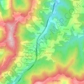
Name: Llaneces topographic map, elevation, terrain.
Location: Llaneces, Asturias, 33920, España (43.27436 -5.77348 43.31436 -5.73348)
Average elevation: 431 m
Minimum elevation: 201 m
Maximum elevation: 703 m
Other topographic maps
Click on a map to view its topography, its elevation and its terrain.