Geolocate

Liberty City topographic map

Click on the map to display elevation.

About this map

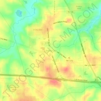
Name: Liberty City topographic map, elevation, terrain.

Location: Liberty City, Gregg County, Texas, United States (32.42543 -94.96855 32.46543 -94.92855)

Average elevation: 116 m

Minimum elevation: 82 m

Maximum elevation: 145 m

Other topographic maps

Click on a map to view its topography, its elevation and its terrain.

Longview

United States > Texas > Gregg County

Average elevation: 105 m

Gladewater

United States > Texas > Gregg County

Average elevation: 102 m

Kilgore

United States > Texas > Gregg County

Average elevation: 108 m

White Oak

United States > Texas > Gregg County

Average elevation: 110 m

Longview

United States > Texas > Gregg County

Average elevation: 105 m

Longview

United States > Texas > Gregg County

Average elevation: 105 m

Easton

United States > Texas > Gregg County

Average elevation: 85 m

Gear up for your next adventure:

🛌Down Sleeping Bag - Superior warmth-to-weight ratio for cold nights
🚲Heavy Duty Bike Lock - Secure your bike at the trailhead or during stops
🧢Hiking Sun Hat - Wide-brimmed protection for exposed mountain ridges
🧴Waterproofing Spray - Restore the DWR coating on jackets and tents
🧴Bear Spray Holster - Quick-access carry for essential Canadian wilderness safety

As an Amazon Associate, this site earns from qualifying purchases at no extra cost to you.