Geolocate

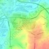
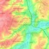
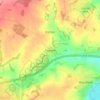
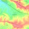
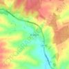
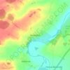
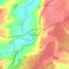
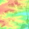
Braybrooke topographic map

Click on the map to display elevation.

About this map

Name: Braybrooke topographic map, elevation, terrain.

Location: Braybrooke, North Northamptonshire, England, United Kingdom (52.43458 -0.90626 52.47150 -0.83643)

Average elevation: 124 m

Minimum elevation: 79 m

Maximum elevation: 161 m

Other topographic maps

Click on a map to view its topography, its elevation and its terrain.
Slade

United Kingdom > England > North Northamptonshire > Orton

Average elevation: 123 m

Corby

United Kingdom > England > North Northamptonshire

Average elevation: 103 m

Corby

United Kingdom > England > North Northamptonshire

Average elevation: 103 m

Corby

United Kingdom > England > North Northamptonshire

Average elevation: 103 m

Corby

United Kingdom > England > North Northamptonshire

Average elevation: 103 m

Gear up for your next adventure:

💧Collapsible Water Bottle - Space-saving water bottle for outdoor activities
💧Hydration Bladder - Hands-free hydration solution for long treks
🎒Hiking Backpack - Lightweight and ergonomic backpacks for day hikes or multi-day treks
👖Convertible Hiking Pants - Zip-off legs to adapt to changing weather conditions
🔋Emergency Crank Radio - Weather alerts and power without needing batteries

As an Amazon Associate, this site earns from qualifying purchases at no extra cost to you.