Geolocate

Roseland topographic map

Click on the map to display elevation.

About this map

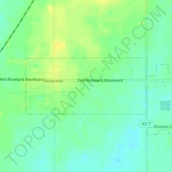
Name: Roseland topographic map, elevation, terrain.

Location: Roseland, Cherokee County, Kansas, United States (37.27590 -94.85605 37.28478 -94.83214)

Average elevation: 278 m

Minimum elevation: 269 m

Maximum elevation: 289 m

Other topographic maps

Click on a map to view its topography, its elevation and its terrain.

East Galena

United States > Kansas > Cherokee County > Galena

Average elevation: 288 m

Sherwin

United States > Kansas > Cherokee County

Average elevation: 260 m

Gear up for your next adventure:

🛶Waterproof Dry Bags - Keep electronics and clothes dry during river crossings
🧦Outdoor Socks - Durable socks designed for hiking and outdoor sports
🧊Insulated Water Bottle - Keeps drinks cold in summer and prevents freezing in winter
💧Hydration Pack - Hands-free hydration system for long hikes
🧴Sunscreen SPF - Broad-spectrum sunscreen for outdoor activities

As an Amazon Associate, this site earns from qualifying purchases at no extra cost to you.