Geolocate

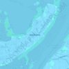
Lido topographic map

Click on the map to display elevation.

About this map
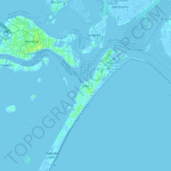
Name: Lido topographic map, elevation, terrain.

Location: Lido, Venice, Venezia, Veneto, 30132, Italy (45.37646 12.33061 45.45646 12.41061)

Average elevation: 0 m

Minimum elevation: -6 m

Maximum elevation: 14 m

Other topographic maps

Click on a map to view its topography, its elevation and its terrain.

Isola San Servolo

Italy > Veneto > Venezia > Venice > Lido

Average elevation: 1 m

Sant'Erasmo

Italy > Veneto > Venezia > Venice > Sant'Erasmo

Average elevation: 0 m

Murano

Italy > Veneto > Venezia > Venice > Murano

Average elevation: 0 m

Canal Grande

Italy > Veneto > Venezia > Venice > Lido

Average elevation: 2 m

Burano

Italy > Veneto > Venezia > Venice > Burano

Average elevation: 0 m

Sant'Erasmo

Italy > Veneto > Venezia > Venice > Sant'Erasmo

Average elevation: 0 m

Gear up for your next adventure:

💡Portable Camping Lamp - Rechargeable lamp for campsite lighting
🧦Outdoor Socks - Durable socks designed for hiking and outdoor sports
🔋Lithium AA Batteries - Long-lasting power that performs in extreme cold
🦶Hiking Shoe Insoles - Added support for high arches and long days on feet
🔭Compact Monocular - One-handed bird watching and trail spotting

As an Amazon Associate, this site earns from qualifying purchases at no extra cost to you.