Geolocate

Sant'Erasmo topographic map

Click on the map to display elevation.

About this map
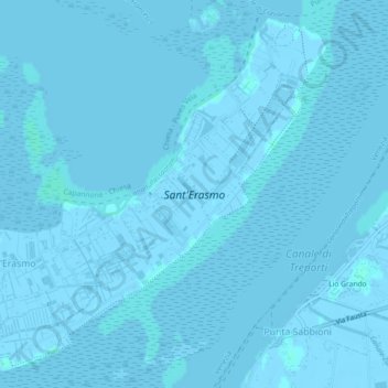
Name: Sant'Erasmo topographic map, elevation, terrain.

Location: Sant'Erasmo, Venice, Venezia, Veneto, Italy (45.44447 12.38559 45.47346 12.43091)

Average elevation: 0 m

Minimum elevation: -6 m

Maximum elevation: 3 m

Other topographic maps

Click on a map to view its topography, its elevation and its terrain.

Sant'Erasmo

Italy > Veneto > Venezia > Venice > Sant'Erasmo

Average elevation: 0 m

Gear up for your next adventure:

🧳Compression Sacks - Maximize space in your backpack by shrinking gear
🥾Trekking Boots - Durable boots for long-distance trekking
🥾Mountaineering Boots - Supportive boots for climbing and high-altitude hiking
🚲Handlebar Phone Mount - View topographic-map.com live while cycling
💧Hydration Bladder - Hands-free hydration solution for long treks

As an Amazon Associate, this site earns from qualifying purchases at no extra cost to you.