Geolocate

Endeavor topographic map

Click on the map to display elevation.

About this map
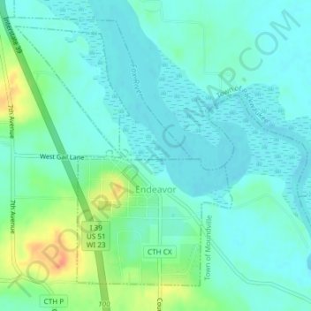
Name: Endeavor topographic map, elevation, terrain.

Location: Endeavor, Marquette County, Wisconsin, United States (43.70742 -89.48313 43.72995 -89.45707)

Average elevation: 242 m

Minimum elevation: 231 m

Maximum elevation: 274 m

Gear up for your next adventure:

🛌Insulated Sleeping Pad - Critical thermal barrier between you and the cold ground
🕶️Polarized Sunglasses - Reduces glare from snow and water at high elevations
🧭GPS Tracker - Track your location in remote areas safely
🔨Vehicle Emergency Tool - Safety tool for remote road trips to trailheads
🥾Lightweight Hiking Shoes - Comfortable shoes for day hikes

As an Amazon Associate, this site earns from qualifying purchases at no extra cost to you.