Geolocate

Worthington topographic map

Click on the map to display elevation.

About this map

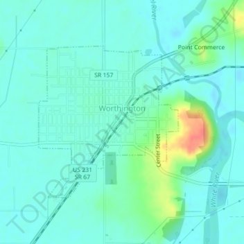
Name: Worthington topographic map, elevation, terrain.

Location: Worthington, Greene County, Indiana, 47471, United States (39.10864 -86.98852 39.12543 -86.96858)

Average elevation: 162 m

Minimum elevation: 150 m

Maximum elevation: 204 m

Other topographic maps

Click on a map to view its topography, its elevation and its terrain.

Newark

United States > Indiana > Greene County

Average elevation: 216 m

Bushrod

United States > Indiana > Greene County

Average elevation: 151 m

Owensburg

United States > Indiana > Greene County > Owensburg

Average elevation: 223 m

White Rose

United States > Indiana > Greene County

Average elevation: 156 m

Gear up for your next adventure:

🌬️Windproof Camp Stove - Efficient cooking even on exposed mountain peaks
🧶550 Survival Paracord - Versatile utility cord for emergency repairs and rigging
🔭Compact Binoculars - Lightweight optics for scouting trails and wildlife
🚲MTB Frame Bag - Carry tools and maps directly on your bicycle frame
🦯Trekking Poles - Reduced impact on joints for steep topographic climbs

As an Amazon Associate, this site earns from qualifying purchases at no extra cost to you.