
Mulkeytown topographic map
Click on the map to display elevation.
About this map
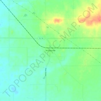
Name: Mulkeytown topographic map, elevation, terrain.
Location: Mulkeytown, Franklin County, Illinois, 62865, United States (37.95088 -89.13147 37.99088 -89.09147)
Average elevation: 136 m
Minimum elevation: 119 m
Maximum elevation: 167 m
Other topographic maps
Click on a map to view its topography, its elevation and its terrain.