Geolocate

Oberwindau topographic map

Click on the map to display elevation.

About this map

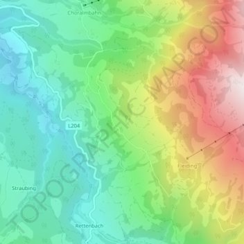
Name: Oberwindau topographic map, elevation, terrain.

Location: Oberwindau, Westendorf, Bezirk Kitzbühel, Tyrol, 6363, Austria (47.39021 12.21296 47.41021 12.23296)

Average elevation: 1,051 m

Minimum elevation: 718 m

Maximum elevation: 1,637 m

Gear up for your next adventure:

🛁Quick-Dry Microfiber Towel - Space-saving towel that dries rapidly on the move
💧Collapsible Water Bottle - Space-saving water bottle for outdoor activities
🦶Anti-Blister Balm - Prevents friction and hotspots during long ascents
🥾Waterproof Hiking Boots - Essential footwear for rugged terrain and wet Canadian trails
Camping Tent - Weather-resistant tents suitable for 2 to 6 people

As an Amazon Associate, this site earns from qualifying purchases at no extra cost to you.