Geolocate

Llansamlet topographic map

Click on the map to display elevation.

About this map

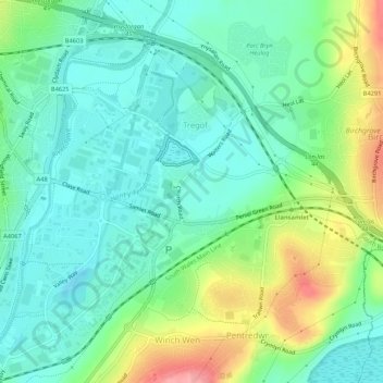
Name: Llansamlet topographic map, elevation, terrain.

Location: Llansamlet, Tregof, Swansea, Wales, United Kingdom (51.64964 -3.92432 51.67639 -3.87105)

Average elevation: 32 m

Minimum elevation: -4 m

Maximum elevation: 107 m

Gear up for your next adventure:

🛌Down Sleeping Bag - Superior warmth-to-weight ratio for cold nights
Camping Essentials - All-in-one gear for a comfortable camping trip
💧Reusable Water Bottle - Durable water bottles for hydration on trails
🥾Trail Hiking Boots - Supportive boots for rough trails
🥾Light Hiking Boots - Lightweight and comfortable boots for day hikes

As an Amazon Associate, this site earns from qualifying purchases at no extra cost to you.