Geolocate

Sudgrove topographic map

Click on the map to display elevation.

About this map

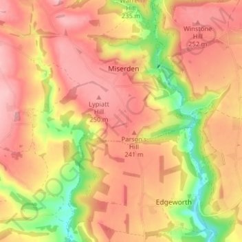
Name: Sudgrove topographic map, elevation, terrain.

Location: Sudgrove, Miserden, Stroud, Gloucestershire, England, GL6 7JD, United Kingdom (51.74950 -2.11264 51.78950 -2.07264)

Average elevation: 214 m

Minimum elevation: 129 m

Maximum elevation: 263 m

Other topographic maps

Click on a map to view its topography, its elevation and its terrain.

Gear up for your next adventure:

🛏️Camping Sleeping Mat - Comfortable mats for sleeping outdoors
🧭GPS Tracker - Track your location in remote areas safely
💡Solar Camping Lamp - Eco-friendly lighting for campsites
🧣Merino Neck Gaiter - Protects against wind, sun, and cold at high altitudes
🦶Anti-Blister Balm - Prevents friction and hotspots during long ascents

As an Amazon Associate, this site earns from qualifying purchases at no extra cost to you.