Geolocate

Mill Pool topographic map

Click on the map to display elevation.

About this map

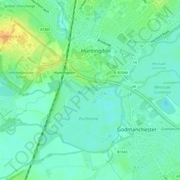
Name: Mill Pool topographic map, elevation, terrain.

Location: Mill Pool, Newtown, Huntingdon, Huntingdonshire, Cambridgeshire, East of England, England, United Kingdom (52.32529 -0.18677 52.32566 -0.18560)

Average elevation: 14 m

Minimum elevation: 3 m

Maximum elevation: 38 m

Other topographic maps

Click on a map to view its topography, its elevation and its terrain.

Gear up for your next adventure:

🥾Lightweight Hiking Shoes - Comfortable shoes for day hikes
🧤Rechargeable Heated Gloves - Extreme warmth for Canadian winter expeditions
🍽️Titanium Camping Spork - Ultralight and indestructible eating utensil
🧊Portable Cooler - Keep food and drinks cold during outdoor adventures
🧰Emergency Multi-Tool - Compact multi-tool for outdoor survival

As an Amazon Associate, this site earns from qualifying purchases at no extra cost to you.