
Uplyme topographic map
Click on the map to display elevation.
About this map
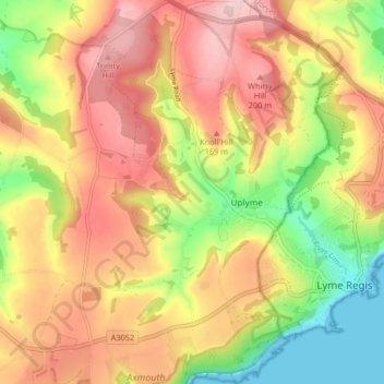
Name: Uplyme topographic map, elevation, terrain.
Average elevation: 121 m
Minimum elevation: 0 m
Maximum elevation: 225 m
Other topographic maps
Click on a map to view its topography, its elevation and its terrain.
Allercombe
United Kingdom > England > Devon > East Devon > Marsh Green > Allercombe
Average elevation: 90 m