
Charlotte topographic map
Click on the map to display elevation.
About this map
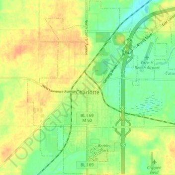
Name: Charlotte topographic map, elevation, terrain.
Location: Charlotte, Eaton County, Michigan, United States (42.53857 -84.86060 42.59164 -84.78802)
Average elevation: 278 m
Minimum elevation: 260 m
Maximum elevation: 294 m
Other topographic maps
Click on a map to view its topography, its elevation and its terrain.
Grand Ledge
United States > Michigan > Eaton County > Grand Ledge > Grand Ledge
Average elevation: 259 m