Geolocate

Grand Ledge topographic map

Click on the map to display elevation.

About this map

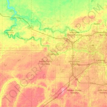
Name: Grand Ledge topographic map, elevation, terrain.

Location: Grand Ledge, Eaton County, Michigan, 48837, United States (42.59337 -84.90638 42.91337 -84.58638)

Average elevation: 259 m

Minimum elevation: 208 m

Maximum elevation: 301 m

Gear up for your next adventure:

🪑Ultralight Camping Stool - Compact seating for rest stops during long hikes
🍽️Titanium Camping Spork - Ultralight and indestructible eating utensil
🦶Hiking Shoe Insoles - Added support for high arches and long days on feet
🧥Packable Rain Jacket - Breathable waterproof layer for unpredictable weather
🧥Softshell Hiking Jacket - The perfect balance of wind protection and breathability

As an Amazon Associate, this site earns from qualifying purchases at no extra cost to you.