Geolocate

Umgransele topographic map

Click on the map to display elevation.

About this map

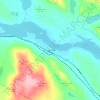
Name: Umgransele topographic map, elevation, terrain.

Location: Umgransele, Lycksele kommun, Västerbotten County, Sweden (64.67831 18.35721 64.71831 18.39721)

Average elevation: 287 m

Minimum elevation: 248 m

Maximum elevation: 398 m

Gear up for your next adventure:

🥾All-Terrain Hiking Boots - Versatile boots for varied hiking conditions
🥾Trail Hiking Shoes - Durable shoes designed for rugged trails
🧥Softshell Jacket - Windproof and breathable jacket for hiking
🦌Outdoor Trail Camera - Monitor wildlife activity near your favorite spots
🪜Heavy Duty Carabiners - Multi-use clips for securing gear to your backpack

As an Amazon Associate, this site earns from qualifying purchases at no extra cost to you.