
Bonda topographic map
Interactive map
Click on the map to display elevation.
About this map
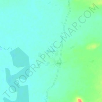
Name: Bonda topographic map, elevation, terrain.
Location: Bonda, Bam, Región Centro-Norte, Burkina Faso (13.47927 -1.53361 13.51927 -1.49361)
Average elevation: 311 m
Minimum elevation: 300 m
Maximum elevation: 348 m
Other topographic maps
Click on a map to view its topography, its elevation and its terrain.
Sambisogo-Dapoya
Burkina Faso > Sambisogo-Dapoya
Sambisogo-Dapoya, Ramongo, Boulkiemdé, Centre-Ouest, Burkina Faso
Average elevation: 290 m