
Bogoya topographic map
Interactive map
Click on the map to display elevation.
About this map
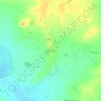
Name: Bogoya topographic map, elevation, terrain.
Location: Bogoya, Yatenga, Nord, Burkina Faso (13.61380 -2.44449 13.65380 -2.40449)
Average elevation: 338 m
Minimum elevation: 322 m
Maximum elevation: 362 m