Geolocate

Acotama topographic map

Click on the map to display elevation.

About this map

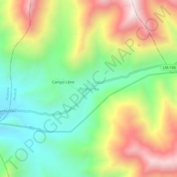
Name: Acotama topographic map, elevation, terrain.

Location: Acotama, Ihuarí, Province of Huaral, Lima, Peru (-11.16198 -77.08536 -11.12198 -77.04536)

Average elevation: 1,627 m

Minimum elevation: 1,217 m

Maximum elevation: 2,209 m

Gear up for your next adventure:

👟Sport Hiking Sandals - Breathable footwear for water crossings and camp rest
🥾Hiking Boots - Sturdy boots providing ankle support and traction on rugged trails
🧢Hiking Hat - Sun-protective and breathable hats for long treks
👟Leg Gaiters - Keep debris, mud, and snow out of your boots
🚲MTB Frame Bag - Carry tools and maps directly on your bicycle frame

As an Amazon Associate, this site earns from qualifying purchases at no extra cost to you.