Geolocate

Brecht topographic map

Click on the map to display elevation.

About this map
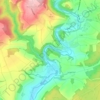
Name: Brecht topographic map, elevation, terrain.

Location: Brecht, Bitburger Land, Eifelkreis Bitburg-Prüm, Rijnland-Palts, Duitsland (49.96863 6.41088 50.00532 6.46556)

Average elevation: 310 m

Minimum elevation: 220 m

Maximum elevation: 441 m

Other topographic maps

Click on a map to view its topography, its elevation and its terrain.

Gear up for your next adventure:

🥾Durable Hiking Shoes - Long-lasting shoes for frequent hiking
⛺Bushcraft Tarp - Versatile emergency shelter or gear protection
🚲MTB Frame Bag - Carry tools and maps directly on your bicycle frame
🥾Trail Running Boots - Durable shoes designed for trail running
🧭Orienteering Kit - Tools for map reading and navigation in the wild

As an Amazon Associate, this site earns from qualifying purchases at no extra cost to you.