Geolocate

Fancy Gap topographic map

Click on the map to display elevation.

About this map

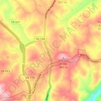
Name: Fancy Gap topographic map, elevation, terrain.

Location: Fancy Gap, Carroll County, Virginia, United States (36.64858 -80.72626 36.69722 -80.67420)

Average elevation: 865 m

Minimum elevation: 665 m

Maximum elevation: 994 m

Other topographic maps

Click on a map to view its topography, its elevation and its terrain.

Laurel Fork

United States > Virginia > Carroll County

Average elevation: 832 m

Fancy Gap

United States > Virginia > Carroll County

Average elevation: 868 m

Wolf Glade

United States > Virginia > Carroll County

Average elevation: 771 m

Dugspur

United States > Virginia > Carroll County

Average elevation: 794 m

Hickory Flat

United States > Virginia > Carroll County

Average elevation: 751 m

Gear up for your next adventure:

🛶Waterproof Dry Bags - Keep electronics and clothes dry during river crossings
🥾All-Terrain Hiking Boots - Versatile boots for varied hiking conditions
🧦Crew Hiking Socks - Comfortable socks for long-distance hikes
🧦Hiking Liner Socks - Thin base layer to prevent friction and blisters
🦶Hiking Shoe Insoles - Added support for high arches and long days on feet

As an Amazon Associate, this site earns from qualifying purchases at no extra cost to you.