
马坊 topographic map
Interactive map
Click on the map to display elevation.
About this map
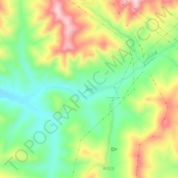
Name: 马坊 topographic map, elevation, terrain.
Location: 马坊, 神池县, 忻州市, 山西省, 中国 (39.23329 112.00285 39.27329 112.04285)
Average elevation: 1,665 m
Minimum elevation: 1,526 m
Maximum elevation: 1,859 m
Other topographic maps
Click on a map to view its topography, its elevation and its terrain.