
Mahahual topographic map
Click on the map to display elevation.
About this map
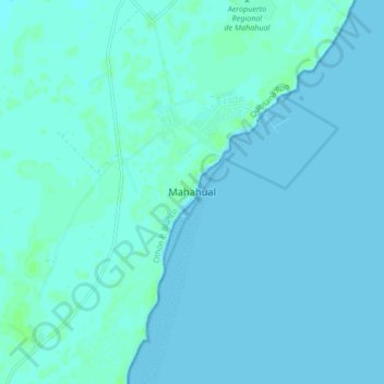
Name: Mahahual topographic map, elevation, terrain.
Location: Mahahual, Othón P. Blanco, Quintana Roo, 77976, Mexico (18.68573 -87.74723 18.76573 -87.66723)
Average elevation: 2 m
Minimum elevation: -1 m
Maximum elevation: 7 m
Other topographic maps
Click on a map to view its topography, its elevation and its terrain.