
Market Place topographic map
Click on the map to display elevation.
About this map
Name: Market Place topographic map, elevation, terrain.
Average elevation: 2 m
Minimum elevation: -1 m
Maximum elevation: 17 m
Other topographic maps
Click on a map to view its topography, its elevation and its terrain.
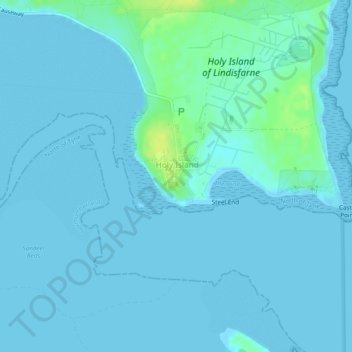
Holy Island of Lindisfarne
United Kingdom > England > Northumberland > Holy Island
Average elevation: 1 m
Holy Island of Lindisfarne
United Kingdom > England > Northumberland > Holy Island
Average elevation: 1 m
Holy Island of Lindisfarne
United Kingdom > England > Northumberland > Holy Island
Average elevation: 1 m