
Leslieville topographic map
Interactive map
Click on the map to display elevation.
About this map
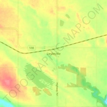
Name: Leslieville topographic map, elevation, terrain.
Location: Leslieville, Clearwater County, Alberta, T0M 1H0, Canada (52.36274 -114.62361 52.40274 -114.58361)
Average elevation: 962 m
Minimum elevation: 925 m
Maximum elevation: 993 m