Geolocate

Villanow topographic map

Click on the map to display elevation.

About this map

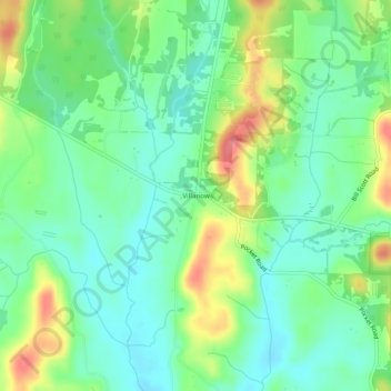
Name: Villanow topographic map, elevation, terrain.

Location: Villanow, Walker County, Georgia, United States (34.65369 -85.13467 34.69369 -85.09467)

Average elevation: 282 m

Minimum elevation: 254 m

Maximum elevation: 335 m

Other topographic maps

Click on a map to view its topography, its elevation and its terrain.

Chickamauga

United States > Georgia > Walker County

Average elevation: 238 m

LaFayette

United States > Georgia > Walker County

Average elevation: 276 m

Rossville

United States > Georgia > Walker County

Average elevation: 251 m

Chickamauga

United States > Georgia > Walker County

Average elevation: 238 m

LaFayette

United States > Georgia > Walker County

Average elevation: 276 m

Gear up for your next adventure:

🥾Trail Hiking Socks - Comfortable socks to prevent blisters and fatigue
🚲Handlebar Phone Mount - View topographic-map.com live while cycling
🧶550 Survival Paracord - Versatile utility cord for emergency repairs and rigging
🥾Trekking Boots - Durable boots for long-distance trekking
Lightweight Backpacking Tent - Compact tent for efficient hiking trips

As an Amazon Associate, this site earns from qualifying purchases at no extra cost to you.