
Hademore topographic map
Click on the map to display elevation.
About this map
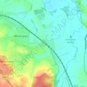
Name: Hademore topographic map, elevation, terrain.
Average elevation: 67 m
Minimum elevation: 50 m
Maximum elevation: 114 m
Other topographic maps
Click on a map to view its topography, its elevation and its terrain.
Whittington
United Kingdom > England > Staffordshire > Lichfield > Whittington
Average elevation: 70 m
Fulfen Wood
United Kingdom > England > Staffordshire > Lichfield > Whittington > Streethay
Average elevation: 69 m