
Leeds topographic map
Click on the map to display elevation.
About this map
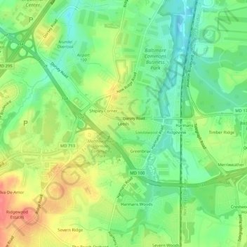
Name: Leeds topographic map, elevation, terrain.
Location: Leeds, Anne Arundel County, Maryland, 21077, United States (39.13761 -76.72941 39.17761 -76.68941)
Average elevation: 47 m
Minimum elevation: 19 m
Maximum elevation: 84 m
Other topographic maps
Click on a map to view its topography, its elevation and its terrain.