
Galesville topographic map
Interactive map
Click on the map to display elevation.
About this map
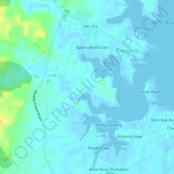
Name: Galesville topographic map, elevation, terrain.
Location: Galesville, Anne Arundel County, Maryland, United States (38.82233 -76.56362 38.85161 -76.53527)
Average elevation: 4 m
Minimum elevation: -3 m
Maximum elevation: 29 m