
Manus topographic map
Interactive map
Click on the map to display elevation.
About this map
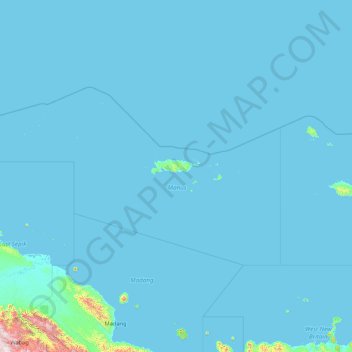
Name: Manus topographic map, elevation, terrain.
Location: Manus, Islands Region, Papua New Guinea (-4.00000 142.18750 -0.55736 149.00000)
Average elevation: 42 m
Minimum elevation: -2 m
Maximum elevation: 3,217 m
Other topographic maps
Click on a map to view its topography, its elevation and its terrain.
Port Moresby
Papua New Guinea > National Capital District > National Capital District
Average elevation: 34 m