
Pak Island topographic map
Interactive map
Click on the map to display elevation.
About this map
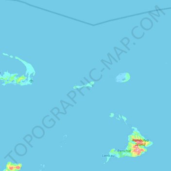
Name: Pak Island topographic map, elevation, terrain.
Average elevation: 2 m
Minimum elevation: -4 m
Maximum elevation: 264 m
Other topographic maps
Click on a map to view its topography, its elevation and its terrain.
Manus
Manus, Manus District, Manus, Islands Region, Papua New Guinea
Average elevation: 18 m