
Batanes topographic map
Interactive map
Click on the map to display elevation.
About this map
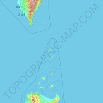
Name: Batanes topographic map, elevation, terrain.
Location: Batanes, Cagayan Valley, Philippinen (18.08425 119.33395 23.20425 124.45395)
Average elevation: 25 m
Minimum elevation: -1 m
Maximum elevation: 3,153 m
Other topographic maps
Click on a map to view its topography, its elevation and its terrain.
Itbayat
Philippinen > Batanes > Itbayat
Itbayat, Batanes, Cagayan Valley, 3905, Philippinen
Average elevation: 31 m
Batan Islands
Philippinen > Batanes > Basco
Batan Islands, Basco, Batanes, Cagayan Valley, 3900, Philippinen
Average elevation: 0 m