
Alban topographic map
Interactive map
Click on the map to display elevation.
About this map
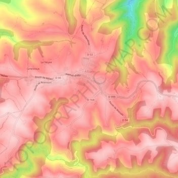
Name: Alban topographic map, elevation, terrain.
Location: Alban, Albi, Tarn, Occitania, Metropolitan France, 81250, France (43.86482 2.42575 43.90599 2.48021)
Average elevation: 570 m
Minimum elevation: 353 m
Maximum elevation: 645 m
Other topographic maps
Click on a map to view its topography, its elevation and its terrain.