Geolocate

Virac topographic map

Click on the map to display elevation.

About this map

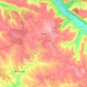
Name: Virac topographic map, elevation, terrain.

Location: Virac, Albi, Tarn, Occitania, Metropolitan France, 81640, France (44.02130 2.02497 44.06547 2.07452)

Average elevation: 295 m

Minimum elevation: 201 m

Maximum elevation: 338 m

Gear up for your next adventure:

🔦LED Headlamp - Hands-free lighting for early morning starts or late finishes
🔥Emergency Fire Starter - Reliable ignition source for all weather conditions
🧴Insect Repellent - Protect yourself from bugs during outdoor adventures
🥾Mountain Hiking Shoes - Shoes with superior grip for mountainous terrain
🧥Thermal Fleece Jacket - Versatile insulation for changing mountain temperatures

As an Amazon Associate, this site earns from qualifying purchases at no extra cost to you.