
Spring Hill topographic map
Click on the map to display elevation.
Spring Hill
In 1856, James B. Hovey named the community after a town near Mobile, Alabama. "Being somewhat enthusiastic in my estimation of its future, it having all advantages of timber and water, and on a line that must be traveled between Olathe and Paola, I concluded to myself, as there was no one else to conclude with, that this was a good place for a town." – J.B. Hovey, 1857 Hovey served as the communities first postmaster. Also that year, Hovey built the first building in town, the Spring Hill Hotel. The two-story structure, also known as the "Old Traveler's Rest" was located on the highest elevation in town.
About this map
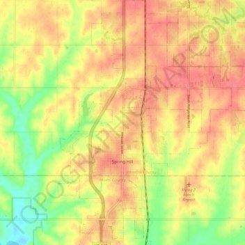
Name: Spring Hill topographic map, elevation, terrain.
Location: Spring Hill, Johnson County, Kansas, 66083, United States (38.71525 -94.85317 38.79665 -94.77897)
Average elevation: 317 m
Minimum elevation: 279 m
Maximum elevation: 340 m
Other topographic maps
Click on a map to view its topography, its elevation and its terrain.