Geolocate

San Pablo topographic map

Click on the map to display elevation.

About this map
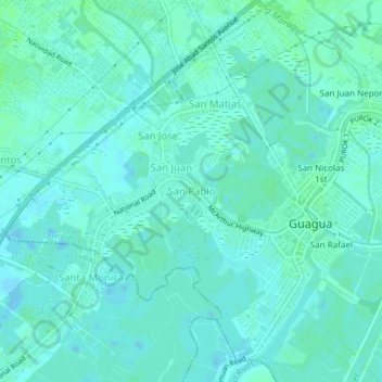
Name: San Pablo topographic map, elevation, terrain.

Location: San Pablo, Guagua, Pampanga, Central Luzon, 2003, Philippines (14.94881 120.60070 14.98881 120.64070)

Average elevation: 3 m

Minimum elevation: -2 m

Maximum elevation: 8 m

Other topographic maps

Click on a map to view its topography, its elevation and its terrain.

San Jose

Philippines > Pampanga > Guagua

Average elevation: 4 m

San Juan Nepomuceno

Philippines > Pampanga > Guagua > Purok 2

Average elevation: 6 m

San Miguel

Philippines > Pampanga > Guagua > Purok 2

Average elevation: 5 m

Jose Abad Santos

Philippines > Pampanga > Guagua

Average elevation: 6 m

Maquiapo

Philippines > Pampanga > Guagua

Average elevation: 19 m

San Matias

Philippines > Pampanga > Guagua

Average elevation: 5 m

Gear up for your next adventure:

💡LED Camping Lantern - Illuminate your campsite with long-lasting lanterns
🧥Fleece Jacket - Warm and lightweight jacket for layering
🛌Insulated Sleeping Pad - Critical thermal barrier between you and the cold ground
🎒Hiking Daypack - Lightweight and durable backpacks for day trips and excursions
💡Solar Camping Lamp - Eco-friendly lighting for campsites

As an Amazon Associate, this site earns from qualifying purchases at no extra cost to you.