

Saraqib topographic map
Click on the map to display elevation.
Saraqib
It has an elevation of 370 meters above sea level. The ancient site of Ebla is situated five kilometers south of the city. Nearby localities include Mardikh and Maar Dibsah to the south, Tronba and al-Nayrab to the west, Sarmin to the northwest, Taftanaz to the north, Talhiyah to the northeast, Tell Touqan to the east and Kafr Amim to the southeast. The M4 and M5 motorways intersect near Saraqib.
About this map
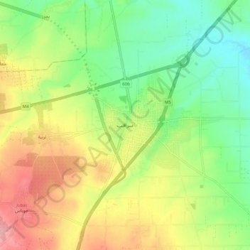
Name: Saraqib topographic map, elevation, terrain.
Average elevation: 358 m
Minimum elevation: 309 m
Maximum elevation: 421 m
Other topographic maps
Click on a map to view its topography, its elevation and its terrain.

