
王城 topographic map
Interactive map
Click on the map to display elevation.
About this map
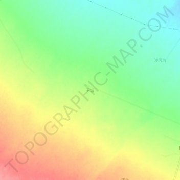
Name: 王城 topographic map, elevation, terrain.
Location: 王城, 山丹县, 张掖市, 甘肃省, 734100, 中国 (38.57190 101.19200 38.61190 101.23200)
Average elevation: 2,005 m
Minimum elevation: 1,967 m
Maximum elevation: 2,048 m
Other topographic maps
Click on a map to view its topography, its elevation and its terrain.