Geolocate

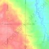
Seville topographic map

Click on the map to display elevation.

About this map
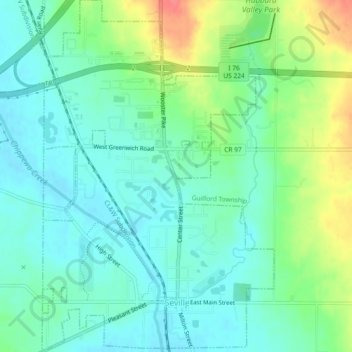
Name: Seville topographic map, elevation, terrain.

Location: Seville, Medina County, Ohio, United States (41.00064 -81.88744 41.03993 -81.84950)

Average elevation: 317 m

Minimum elevation: 296 m

Maximum elevation: 363 m

Other topographic maps

Click on a map to view its topography, its elevation and its terrain.
Abbeyville

United States > Ohio > Medina County

Average elevation: 278 m

Hinckley

United States > Ohio > Medina County

Average elevation: 330 m

Litchfield

United States > Ohio > Medina County

Average elevation: 306 m

River Corners

United States > Ohio > Medina County

Average elevation: 268 m

Valley City

United States > Ohio > Medina County

Average elevation: 262 m

Austin Badger Park

United States > Ohio > Medina County

Average elevation: 307 m

Valley City

United States > Ohio > Medina County

Average elevation: 262 m

Valley City

United States > Ohio > Medina County

Average elevation: 262 m

Gear up for your next adventure:

🧳Compression Sacks - Maximize space in your backpack by shrinking gear
🔦LED Headlamp - Hands-free lighting for early morning starts or late finishes
🦶Hiking Shoe Insoles - Added support for high arches and long days on feet
🔭Outdoor Binoculars - Lightweight binoculars for birdwatching and hiking
🥾Trail Running Shoes - Lightweight and durable shoes for trail running

As an Amazon Associate, this site earns from qualifying purchases at no extra cost to you.