
Winagami Wildland Provincial Park topographic map
Interactive map
Click on the map to display elevation.
About this map
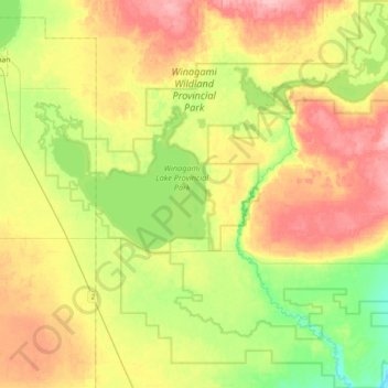
Name: Winagami Wildland Provincial Park topographic map, elevation, terrain.
Average elevation: 636 m
Minimum elevation: 583 m
Maximum elevation: 699 m
Big Lakes County trails, hiking, mountain biking, running and outdoor activities
Other topographic maps
Click on a map to view its topography, its elevation and its terrain.