
Prudhoe Bay topographic map
Click on the map to display elevation.
About this map
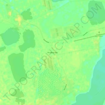
Name: Prudhoe Bay topographic map, elevation, terrain.
Location: Prudhoe Bay, North Slope, Alaska, 99734, United States (70.22501 -148.41784 70.26501 -148.37784)
Average elevation: 10 m
Minimum elevation: 0 m
Maximum elevation: 20 m
Other topographic maps
Click on a map to view its topography, its elevation and its terrain.
Atqasuk
United States > Alaska > North Slope
Atqasuk has one airport, Atqasuk Edward Burnell Sr. Memorial Airport, that is uncontrolled and has a single 4,370-by-90-foot (1,332 by 27 m) runway at an elevation of 96 feet (29 m).
Average elevation: 20 m